Backwater
Alleppey Backwaters
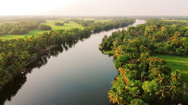
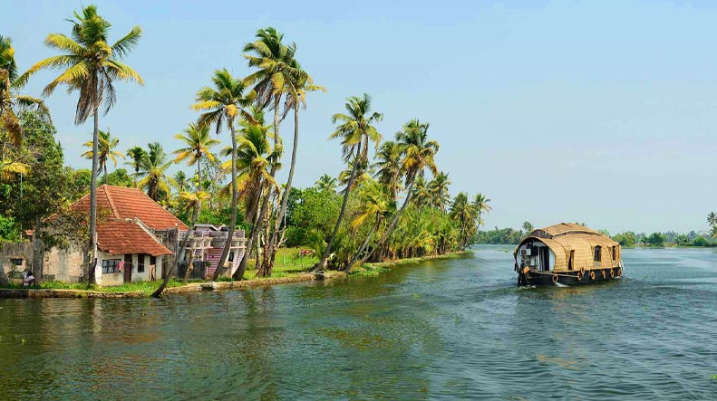
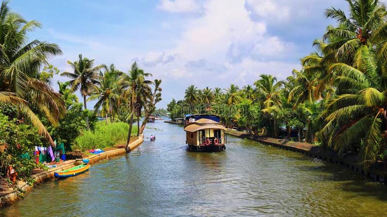
The Kerala backwaters are a chain of brackish lagoons and lakes lying parallel to the Arabian Sea coast (known as the Malabar Coast) of Kerala state in southern India. The network includes five large lakes linked by canals, both manmade and natural, fed by 38 rivers, and extending virtually half the length of Kerala state. The backwaters were formed by the action of waves and shore currents creating low barrier islands across the mouths of the many rivers flowing down from the Western Ghats range.Ashtamudi Lake is the most visited of the lakes, covering an area of 200 km², and located in Kollam. The lake has a large network of canals that meander through the town. Ashtamudi is also India's most preserved lake.
The Kerala Backwaters are a network of interconnected canals, rivers, lakes and inlets, a labyrinthine system formed by more than 900 km of waterways, and sometimes compared to the American Bayou. In the midst of this landscape there are a number of towns and cities, which serve as the starting and end points of backwater cruises.[3] National Waterway No. 3 from Kollam to Kottapuram, covers a distance of 205 km and runs almost parallel to the coast line of southern Kerala facilitating both cargo movement and backwater tourism. The important rivers from north to south are; Valapattanam river (110 km.), Chaliar (69 km.), Kadalundipuzha (130 km.), Bharathapuzha (209 km.), Chalakudy river (130 km.), Periyar (244 km), Pamba (176 km), Achancoil (128 km.) and Kalladayar (121 km.). Other than these, there are 35 more small rivers and rivulets flowing down from the Ghats. Most of these rivers are navigable up to the midland region, in country crafts.


